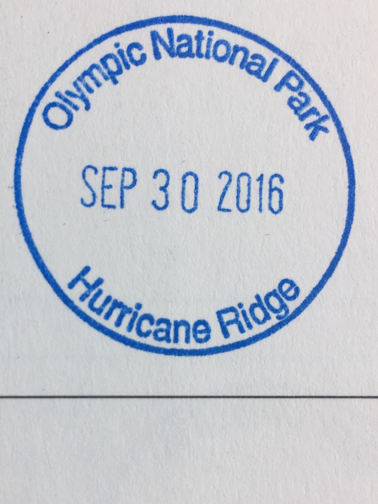
NPOTA Entity: Olympic National Park NP44
SOTA summit: Mt Angeles W7W/NO-045
Activation Date: Sept 30, 2016
Portable operation: Yes
Radio: Elecraft KX2 operating at 10 watts
Antenna: LNR Trail Friendly end fed 40-10m
Bands used: 20m and 40m
Furthest QSO: ~2,200 miles with Luther N4DA in Georgia
Hike in: Yes, ~3.6 miles round trip and 2,000 ft of ascent to a peak at ~6.500ft
Solo operation: No, with Guy (N7UN/NS0TA)
Recommend: Yes
ATT Coverage: Excellent
Photos: Copyright Paul Gacek 2016
I am a grasshopper.
I’m descending the mountain on all fours facing the sky. I try hard not to slide down the mountain and sometimes end up gliding down on my rear end. This was all inevitable given the trail ended far below and we scrambled up a sixty degree face for the last three hundred feet of vertical ascent. Someone has left cairns/ducks to guide us over the best route and I’m mindful of our retreat so I occasionally add to the inventory. Its essential to retrace our steps to avoid some nasty surprise or calamity.

Cresting the peak earlier we had been awed by the views and subdued by the exposure and seeming lack of a place to deploy our mast. A saddle to a clump of rocks beckons and our temporary home is found and occupied.

We share a station which has benefits including an opportunity to fully appreciate this location while Guy operates. Looking north across the water I think I can see Victoria in British Columbia and some of the San Juan Islands we will visit soon. Here I am in the Olympic National Park, one of the wettest place in the US boasting a tropical rain forrest that gets one hundred and fifty inches of rain annually and the skies are blue above me. Tick, something else marked of my list of things to do. Life feels great.


wow! Last time I saw Guy was over a coffee at Friedrichshafen. Well done getting up and down safely! (vk1da)
LikeLike